
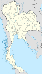
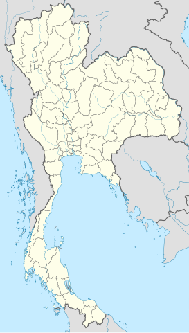
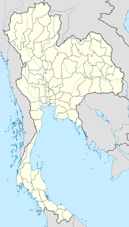
File:Thailand location map.svg

Size of this PNG preview of this SVG file: pikseelii 341 × 600. Kabiraa furmaatawwan: pikseelii 136 × 240 | pikseelii 273 × 480 | pikseelii 436 × 768 | pikseelii 582 × 1,024 | pikseelii 1,164 × 2,048 | pikseelii 1,051 × 1,849.
Faayila abbaa (SVG file, nominally 1,051 × 1,849 pixels, file size: 662 KB)
Guduunfaa
| Ibsa |
Deutsch: Positionskarte von Thailand
Quadratische Plattkarte, N-S-Streckung 103 %. Geographische Begrenzung der Karte:
English: Location map of Thailand
Equirectangular projection, N/S stretching 103 %. Geographic limits of the map:
|
| Guyyaa | |
| Lakkaddaa |
Hojii ofii, using
|
| Barreessaa | NordNordWest |

|
This map has been made or improved in the German Kartenwerkstatt (Map Lab). You can propose maps to improve as well.
|
Eeyyamsiisuu
I, the copyright holder of this work, hereby publish it under the following licenses:

|
Permission is granted to copy, distribute and/or modify this document under the terms of the GNU Free Documentation License, Version 1.2 or any later version published by the Free Software Foundation; with no Invariant Sections, no Front-Cover Texts, and no Back-Cover Texts. A copy of the license is included in the section entitled GNU Free Documentation License. |
This file is licensed under the Creative Commons Attribution 3.0 Unported license.
- Ati bilisa:
- qooduuf – hojicha garagalchuuf, faffacaasuu fi daddabarsuuf
- walimakuuf – hojicha madaqsuuf
- Haalota armaan gadii jalatti:
- amala – You must give appropriate credit, provide a link to the license, and indicate if changes were made. You may do so in any reasonable manner, but not in any way that suggests the licensor endorses you or your use.
Eeyyama filmaata keeti filuu dandeessa.
Seenaa faayilaa
Faayilicha sa'aa san akka itti mul'atetti ilaaluuf guyyaa/yeroo cuqaasi.
| Guyyaa/Sa'aa | Qeensa abgudduu | Kallattiiwwan | Fayyadamaa | Yaada | |
|---|---|---|---|---|---|
| amma | 13:05, 22 Bitooteessa 2011 | | 1,051 × 1,849 (662 KB) | NordNordWest | update, new province |
| 18:00, 14 Elba 2009 |  | 1,052 × 1,849 (1.04 MB) | NordNordWest | corr | |
| 19:57, 29 Bitooteessa 2009 |  | 1,053 × 1,852 (924 KB) | NordNordWest | corr | |
| 18:03, 29 Bitooteessa 2009 |  | 1,053 × 1,852 (924 KB) | NordNordWest | corr | |
| 19:08, 28 Bitooteessa 2009 |  | 1,053 × 1,852 (925 KB) | NordNordWest | {{Information |Description= {{de|Positionskarte von Thailand}} Quadratische Plattkarte, N-S-Streckung 103 %. Geographische Begrenzung der Karte: * N: 20.6° N * S: 5.4° N * W: 97.1° O * O: 106.0° O {{en|Location map of [[:en:Thailand|T |
Fayyadamiinsa faayilaa
Fuulotni faayila kana fayyadaman hin jiru.
Fayyadamiinsa faayila guutu addunyaa
Wikileen biroo kan armaan gadi jiran fayila kana fayyadamu:
- Fayyadamiinsa af.wikipedia.org irratti
- Fayyadamiinsa als.wikipedia.org irratti
- Fayyadamiinsa an.wikipedia.org irratti
- Fayyadamiinsa ar.wikipedia.org irratti
- Fayyadamiinsa ast.wikipedia.org irratti
- Fayyadamiinsa az.wikipedia.org irratti
- Fayyadamiinsa ba.wikipedia.org irratti
- Fayyadamiinsa be-tarask.wikipedia.org irratti
- Fayyadamiinsa be.wikipedia.org irratti
Mul'isa fayyadama duniyaalessa edaasaa harshama kanaa.