
File:Papua New Guinea location map.svg

Size of this PNG preview of this SVG file: pikseelii 800 × 481. Kabiraa furmaatawwan: pikseelii 320 × 192 | pikseelii 640 × 385 | pikseelii 1,024 × 615 | pikseelii 1,280 × 769 | pikseelii 2,560 × 1,538 | pikseelii 2,280 × 1,370.
Faayila abbaa (SVG file, nominally 2,280 × 1,370 pixels, file size: 501 KB)
Guduunfaa
| Ibsa |
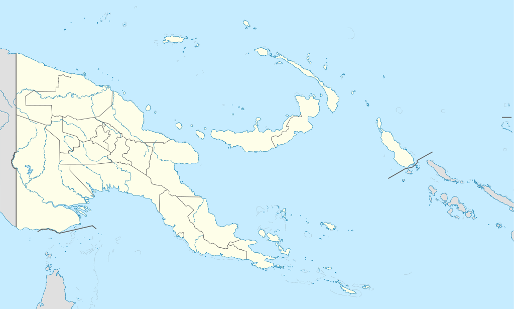
Deutsch: Positionskarte von Papua-Neuguinea
Quadratische Plattkarte. Geographische Begrenzung der Karte:
English: Location map of Papua New Guinea
Equirectangular projection. Geographic limits of the map:
|
| Guyyaa | 05-09-2008 |
| Lakkaddaa |
own work, using
|
| Barreessaa | NordNordWest |
| Other versions |
|


|
This map has been made or improved in the German Kartenwerkstatt (Map Lab). You can propose maps to improve as well.
|
Eeyyamsiisuu
I, the copyright holder of this work, hereby publish it under the following licenses:

|
Permission is granted to copy, distribute and/or modify this document under the terms of the GNU Free Documentation License, Version 1.2 or any later version published by the Free Software Foundation; with no Invariant Sections, no Front-Cover Texts, and no Back-Cover Texts. A copy of the license is included in the section entitled GNU Free Documentation License. |
This file is licensed under the Creative Commons Attribution-Share Alike 3.0 Unported license.
- Ati bilisa:
- qooduuf – hojicha garagalchuuf, faffacaasuu fi daddabarsuuf
- walimakuuf – hojicha madaqsuuf
- Haalota armaan gadii jalatti:
- amala – You must give appropriate credit, provide a link to the license, and indicate if changes were made. You may do so in any reasonable manner, but not in any way that suggests the licensor endorses you or your use.
- wal waliif qoodamu – If you remix, transform, or build upon the material, you must distribute your contributions under the same or compatible license as the original.
Eeyyama filmaata keeti filuu dandeessa.
Seenaa faayilaa
Faayilicha sa'aa san akka itti mul'atetti ilaaluuf guyyaa/yeroo cuqaasi.
| Guyyaa/Sa'aa | Qeensa abgudduu | Kallattiiwwan | Fayyadamaa | Yaada | |
|---|---|---|---|---|---|
| amma | 15:48, 5 Waxabajjii 2012 | | 2,280 × 1,370 (501 KB) | NordNordWest | upd |
| 07:49, 26 Caamsaa 2011 |  | 2,280 × 1,370 (767 KB) | NordNordWest | Reverted to version as of 19:42, 8 December 2009 no need to revert | |
| 23:00, 25 Caamsaa 2011 |  | 2,280 × 1,370 (674 KB) | AlexR.L. | Reverted to version as of 19:51, 5 September 2008 | |
| 19:42, 8 Muddee 2009 |  | 2,280 × 1,370 (767 KB) | NordNordWest | + rivers | |
| 19:51, 5 Fuulbana 2008 |  | 2,280 × 1,370 (674 KB) | NordNordWest | {{Information |Description= {{de|Positionskarte von Papua-Neuguinea}} Quadratische Plattkarte. Geographische Begrenzung der Karte: * N: 0.6° S * S: 12.2° S * W: 140.4° O * O: 159.7° O {{en|Location map of [[:en:Papua New Guinea |
Fayyadamiinsa faayilaa
Fuulotni faayila kana fayyadaman hin jiru.
Fayyadamiinsa faayila guutu addunyaa
Wikileen biroo kan armaan gadi jiran fayila kana fayyadamu:
- Fayyadamiinsa af.wikipedia.org irratti
- Fayyadamiinsa als.wikipedia.org irratti
- Vorlage:Positionskarte Papua-Neuguinea
- Port Moresby
- Bismarck-Archipel
- Neubritannien
- Duke-of-York-Inseln
- Admiralitäts-Inseln
- D’Entrecasteaux-Inseln
- Lavongai
- Westliche Inseln
- Feni-Inseln
- Lihir-Inseln
- Tabar-Inseln
- Tanga-Inseln
- St.-Matthias-Inseln
- Vitu-Inseln
- Neuirland
- Louisiade-Archipel
- Marshall-Bennett-Inseln
- Woodlark-Insel
- Trobriand-Inseln
- Mount Wilhelm
- Fayyadamiinsa an.wikipedia.org irratti
- Fayyadamiinsa ar.wikipedia.org irratti
- Fayyadamiinsa ast.wikipedia.org irratti
- Puertu Moresbi
- Nueva Bretaña
- Montes Herzog
- Archipiélagu Bismarck
- Islles del Duque de York
- Tabubil
- Islla Daru
- Estrechu de Dampier
- Islles del Almirantalgu
- Monte Lamington
- Archipiélagu de les Lluisiaes
- Aeropuertu Internacional de Jacksons
- Aeropuertu de Guasopa
- Puertu de Dreger
- Módulu:Mapa de llocalización/datos/Papúa Nueva Guinea
- Módulu:Mapa de llocalización/datos/Papúa Nueva Guinea/usu
- Islles d'Entrecasteaux
- Provincia de Nueva Bretaña Occidental
- Islles Trobriand
- Kitava
- Vakuta
Mul'isa fayyadama duniyaalessa edaasaa harshama kanaa.